Back to projects
CompletedPythonTensorFlowVS CodeGit
Rooftop Solar Energy System
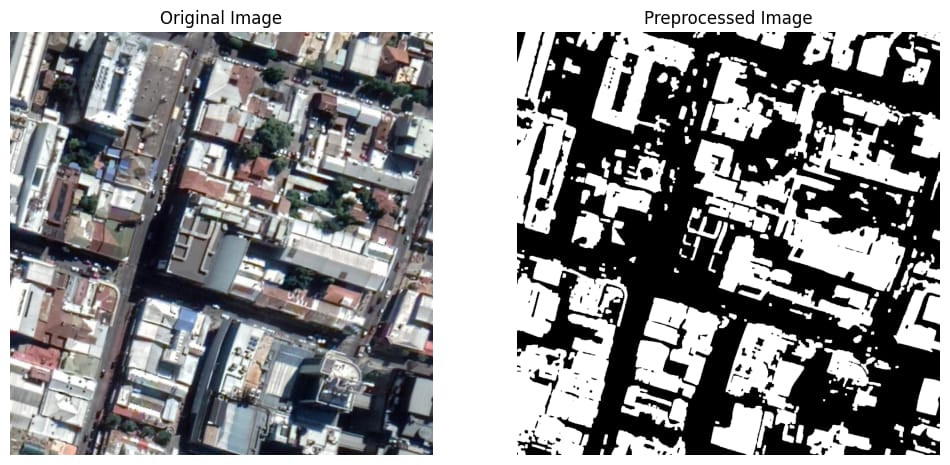
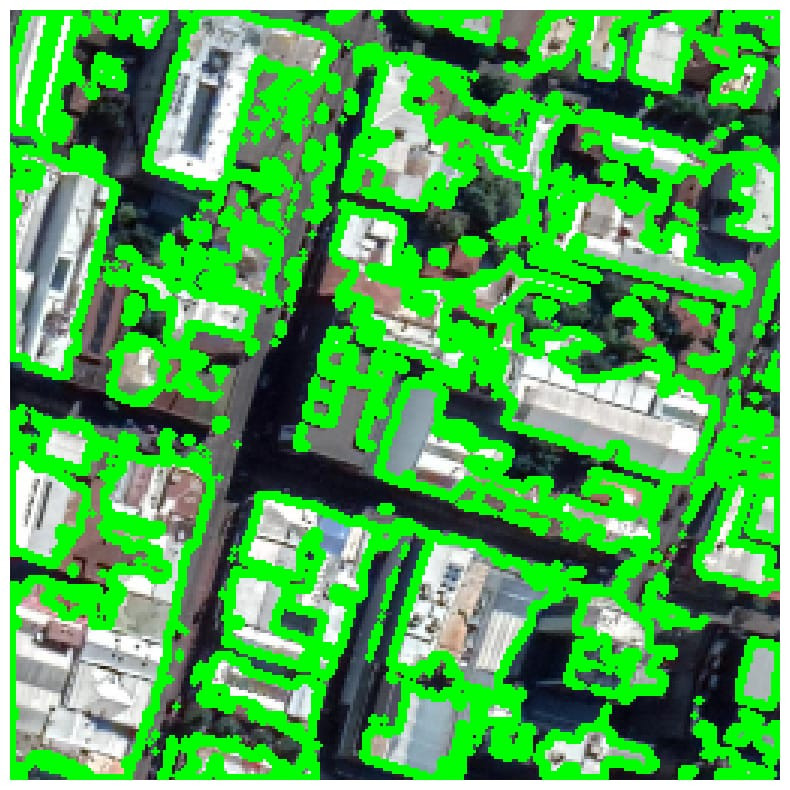
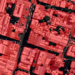
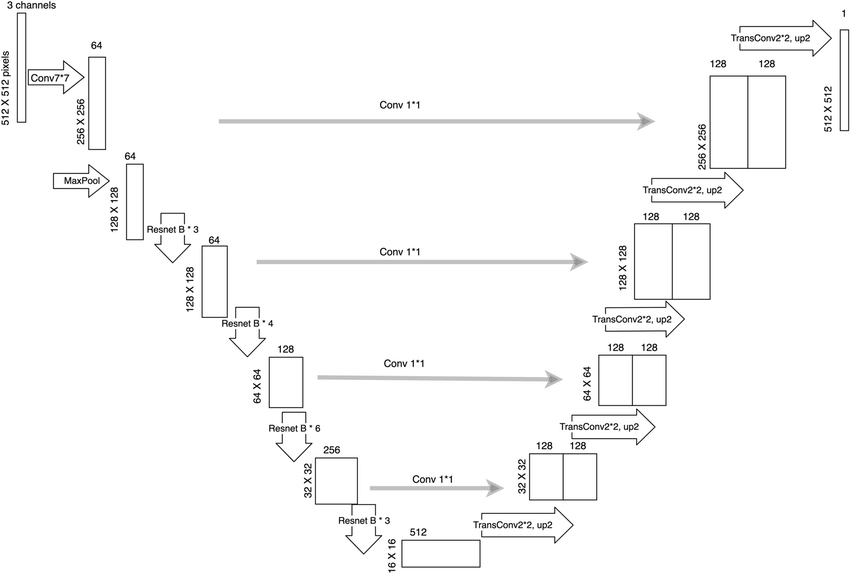
A Deep Learning-powered tool that maps rooftop solar potential by extracting building footprints from satellite imagery using a ResNet50-U-Net model
Timeline4 months
RoleML Developer
TeamGroup
StatusCompleted